Route March, 14 April 1944 : C Company, 2nd Parachute Battalion

Note:
The War Office base map used in this document is Sheet 55 (Grantham) of the England and Wales One-Inch Popular Series, GSGS 3907 - 1933-43, and is reproduced with the permission of the National Library of Scotland. It can be accessed online here: Map Sheet 55 Grantham of the wartime military Ordnance Survey series
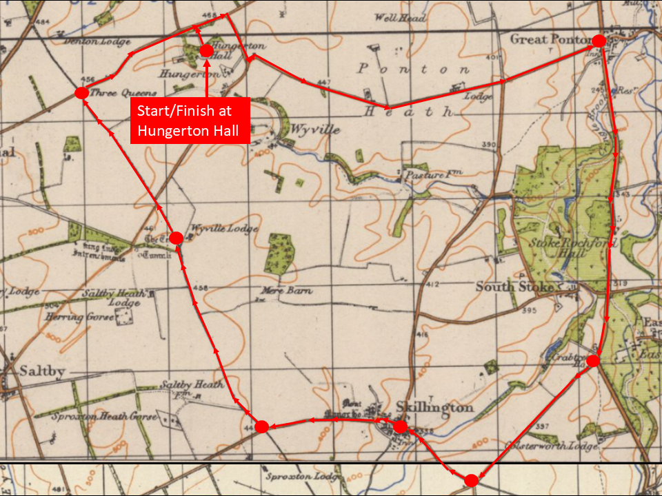
Map of the route march undertaken by C Company, 2nd Parachute Battalion, on 14 April 1944. The start/finish point was the Company Headquarters at Hungerton Hall.
On 14 April 1944, the men of C Company, 2nd Parachute Battalion, carried out a clockwise, circular route march from Hungerton Hall, south-east of Grantham. This route was approximately 13 miles (21 km).
Note: The minor road north towards Wyville Lodge was blocked at this time by the south-eastern edge of RAF Saltby. It is possible that the troops skirted around the closed section or perhaps they were allowed to pass through part of the airfield to re-join the road.
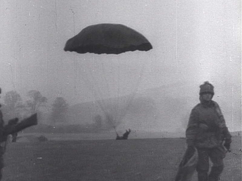
A paratrooper makes a heavy landing during an exercise. (Critical Past film 65675058877)